Welcome to this Vanuatu Bureau of Statistics (VBoS) training course! This Jupyter book contains notebooks on how to apply machine learning and remote sensing methods for Climate Change Monitoring and Natural Disaster Preparedness.
Overview of tutorials
Part 1
Introductory lessons to satellite remote sensing and basic machine learning.
Lesson 1A
Intro to Selecting and Processing Raster Data

Lesson 1B
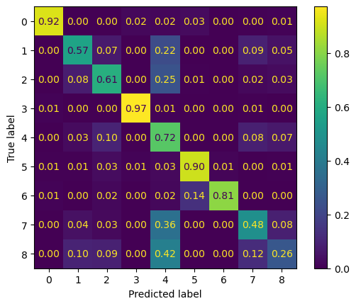
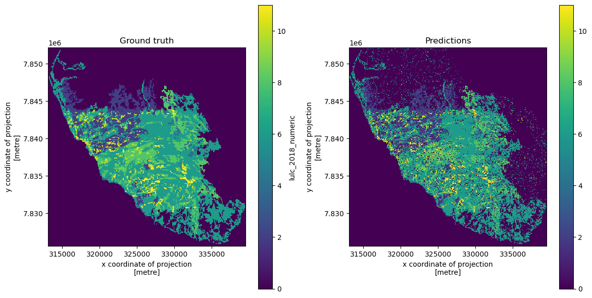
Land Use / Land Cover Segmentation Using Sentinel-2 and Random Forest
Lesson 1C
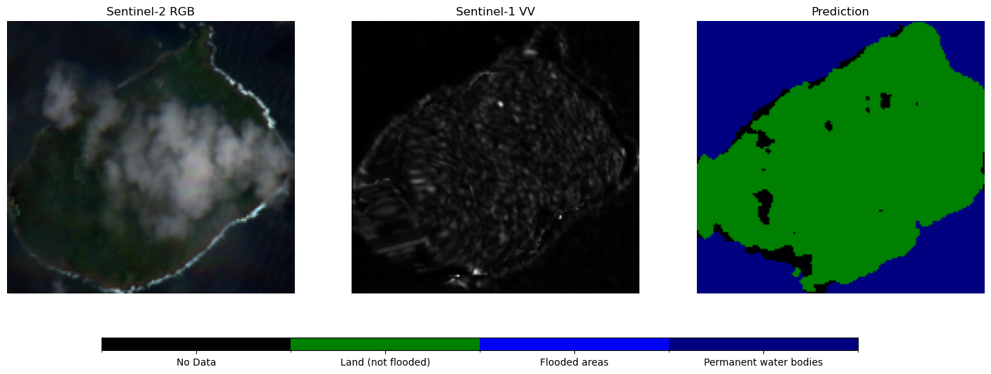
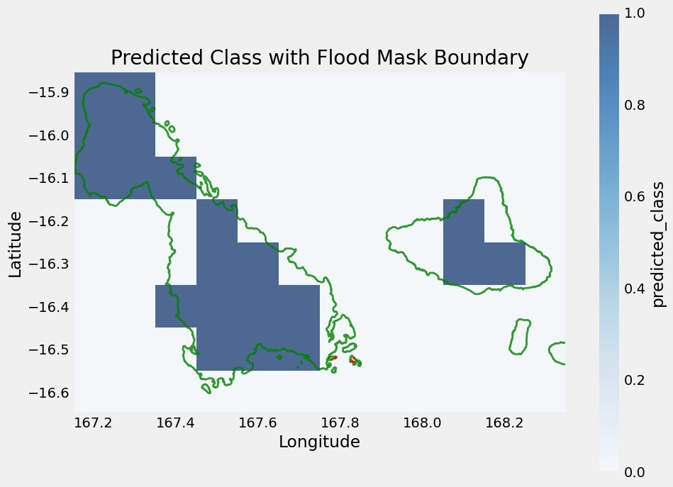
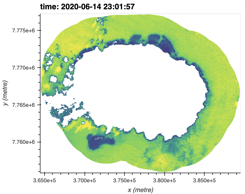
Segmentation workflow using PyTorch for flood and water mask detection
Lesson 1D
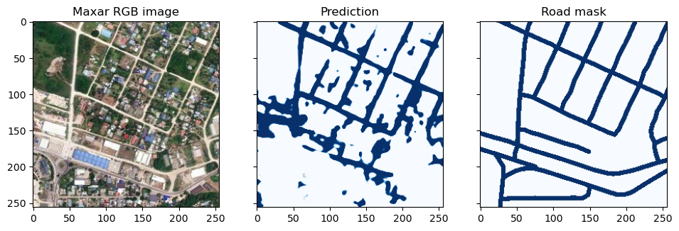
Road segmentation
Part 2
Various environmental and climate indicators covered during an in-person workshop.
Lesson 2A
Coastal changes
Lesson 2B
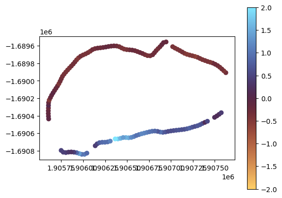
Assessing Flood Risk from Past Weather
Lesson 2C
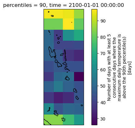
Climate indicators

Lesson 2C (continued)
Marine heat waves
Lesson 2D
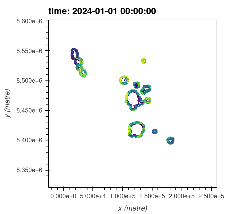
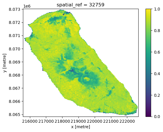
Coral reef mapping
Lesson 2E
Soil health
Extra scripts
Additional processing scripts to scale ML models country-wide for input into VBoS’s
Management Information System (MIS). More at
https://